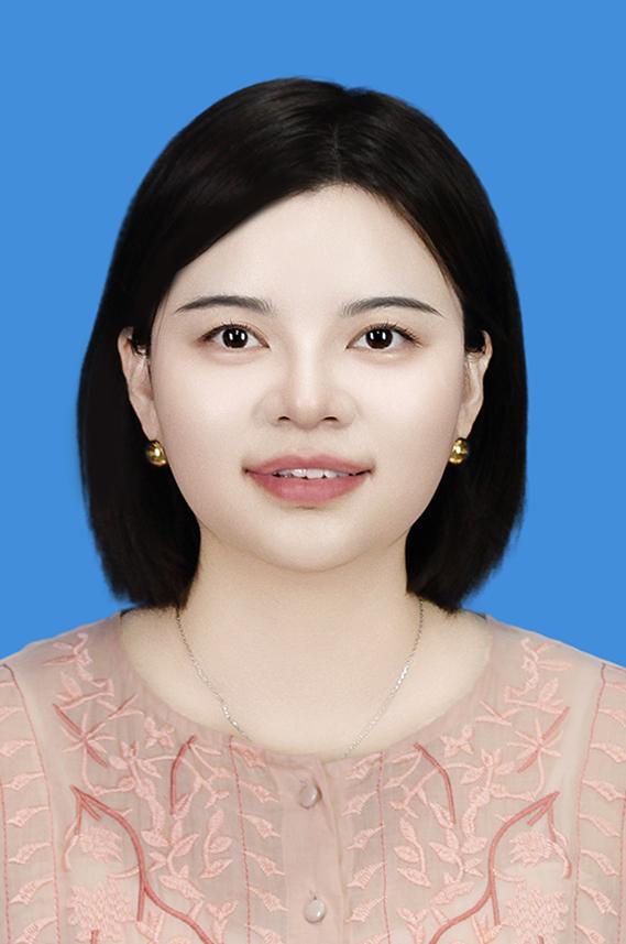
个人资料
- 学院: 地质工程与测绘学院
- 性别: 女
- 出生年月: 1990-12-05
- 职称: 讲师
- 学位: 工学博士
- 学历: 博士研究生
- 毕业院校: 武汉大学
- 联系电话:
- 电子邮箱: junhua.kang@chd.edu.cn
- 通讯地址:
- 邮编:
- 传真:
- 办公地址: 雁塔校区二号教学楼313
- 教育经历:
2008.09-2012.07 武汉大学 测绘工程 学士 2012.09-2015.07 武汉大学 大地测量学与测量工程 硕士 2015.09-2020.12 武汉大学 摄影测量与遥感 博士 2017.09-2020.09 德国汉诺威大学 摄影测量与地理信息研究所 联合培养博士生
个人简介
康俊华,湖南娄底人,博士,硕士生导师。2020年12月毕业于武汉大学获工学博士学位,2017-2020年于德国汉诺威大学摄影测量与地理信息研究所进行联合培养,2021-2022年担任德国GeoBM有限公司研究助理。目前发表学术论文近15篇,主持国家自然科学基金青年项目1项,陕西省自然科学基金1项,中央高校基本科研业务费1项,入选国家资助博士后研究人员计划。参与国家重点研发计划,国家自然科学基金面上项目等多个国家级项目。主要从事影像三维重建、视觉感知、目标识别、农业遥感、深度学习等方面的研究工作。现任国际SCI期刊《ISPRS Journal of Photogrammetry and Remote Sensing》、《Image and Vision Computing》审稿人。 欢迎具有测绘工程、摄影测量与遥感、计算机视觉和人工智能背景的同学们报考我的研究生! 欢迎同学们选报我指导的本科毕业设计/论文!
研究领域
影像匹配 视觉感知、目标识别 影像三维重建 多源融合导航 农业遥感
开授课程
本科生课程: 《数字图像处理》
《计算机视觉》 《数据结构》 研究生课程: 《计算机视觉与实时摄影测量》
科研项目
主持项目 [1] 国家自然科学基金青年项目,2026.01-2028.12,主持。 [2] 国家资助博士后研究人员计划,2024.01-2025.12,主持。 [3] 陕西省自然科学基础研究计划,2024.01-2025.12,主持。 [4] 中央高校基本科研业务费专项资金项目,2024.01-2025.12,主持。
论文
Jia J, Kang J*, Chen L, et al. A Comprehensive Evaluation of Monocular Depth Estimation Methods in Low-Altitude Forest Environment[J]. Remote Sensing, 2025, 17(4): 717.(SCI) 焦韩冰,康俊华*,肖腾,等.基于多级光照激励与联合损失约束的低光图像增强网络[J]. 计算机科学, 2025,1-14.(CSCD) Kang J, Chen L*, Heipke C. EnhancedNet, an End-to-End Network for Dense Disparity Estimation and its Application to Aerial Images[J]. PFG–Journal of Photogrammetry, Remote Sensing and Geoinformation Science, 2024: 1-16.(SCI) Yan Q, Kang J, Xiao T, et al. MVP-Stereo: A Parallel Multi-View Patchmatch Stereo Method with Dilation Matching for Photogrammetric Application[J]. Remote Sensing, 2024, 16(6): 964.(SCI) Wu H, Kang J*, Li H. Soybean seedling detection and counting from UAV images based on an improved YOLOv8 Network[J]. The International Archives of the Photogrammetry, Remote Sensing and Spatial Information Sciences, 2024, 48: 727-735.(EI) 康俊华*. 基于全卷积神经网络的端到端立体密集匹配研究[J]. 测绘学报, 2022, 51(5): 785-785.(EI) Kang, J*., Chen, L., Deng, F., & Heipke, C. (2019). Context pyramidal network for stereo matching regularized by disparity gradients. ISPRS Journal of Photogrammetry and Remote Sensing, 157, 201-215.(SCI Top) Deng, F., Kang, J*., Li, P., & Wan, F. (2015). Automatic true orthophoto generation based on three-dimensional building model using multiview urban aerial images. Journal of Applied Remote Sensing, 9(1), 095087. (SCI) Kang, J*., Chen, L., Deng, F., & Heipke, C. (2020). Improving disparity estimation based on residual cost volume and reconstruction error volume. International Archives of the Photogrammetry, Remote Sensing & S. (Oral Presentation) Kang, J*., Chen, L., Deng, F., & Heipke, C. (2019). Encoder-Decoder network for local structure preserving stereo matching. Dreiländertagung der DGPF, der OVG und der SGPF Wien. Österreich–Publ. der DGPF, 28, 2019.(Oral Presentation) Kang, J*., Deng, F., Li, X., & Wan, F. (2016). Automatic texture reconstruction of 3d city model from oblique images. International Archives of the Photogrammetry, Remote Sensing & Spatial Information Sciences, 41. (Poster ) 康俊华, 邓非, & 赵子龙. (2014). 基于航空影像的屋顶半自动重建研究. 测绘地理信息, 39(4), 29-32.(CSCD) 邓非, 李朋龙, 阚酉浔, 康俊华, &万方. (2017). 数字建筑模型整体投影真正射影像制作中的遮蔽检测方法. 武汉大学学报· 信息科学版, 42(1), 97-102.(EI)
荣誉奖励
2025.08 2025全国高等学校测绘学科教学创新与育才能力大赛—青年教师讲课竞赛,全国一等奖 2025.06 长安大学本科毕业设计优秀指导教师 2024.08 2024年全国大学生测绘学科创新创业智能大赛(测绘技能竞赛)优秀指导教师 2024.08 指导学生获得“2024年全国大学生测绘学科创新创业智能大赛”全国特等奖 2024.06 指导学生获得“首届天际航杯建成遗产数字化与创新应用大赛”全国优秀奖 2023.10 指导学生获得“第十四届北斗杯全国青少年空天科技体验与创新大赛”全国二等奖
工作经历
2023.03—至今 长安大学地质工程与测绘学院 讲师 2021.11—2022.11 德国GeoBM 责任有限公司 Research Assistant(研究助理)
|

